Battles
Iwo Jima: Why the Island Was Worth Taking
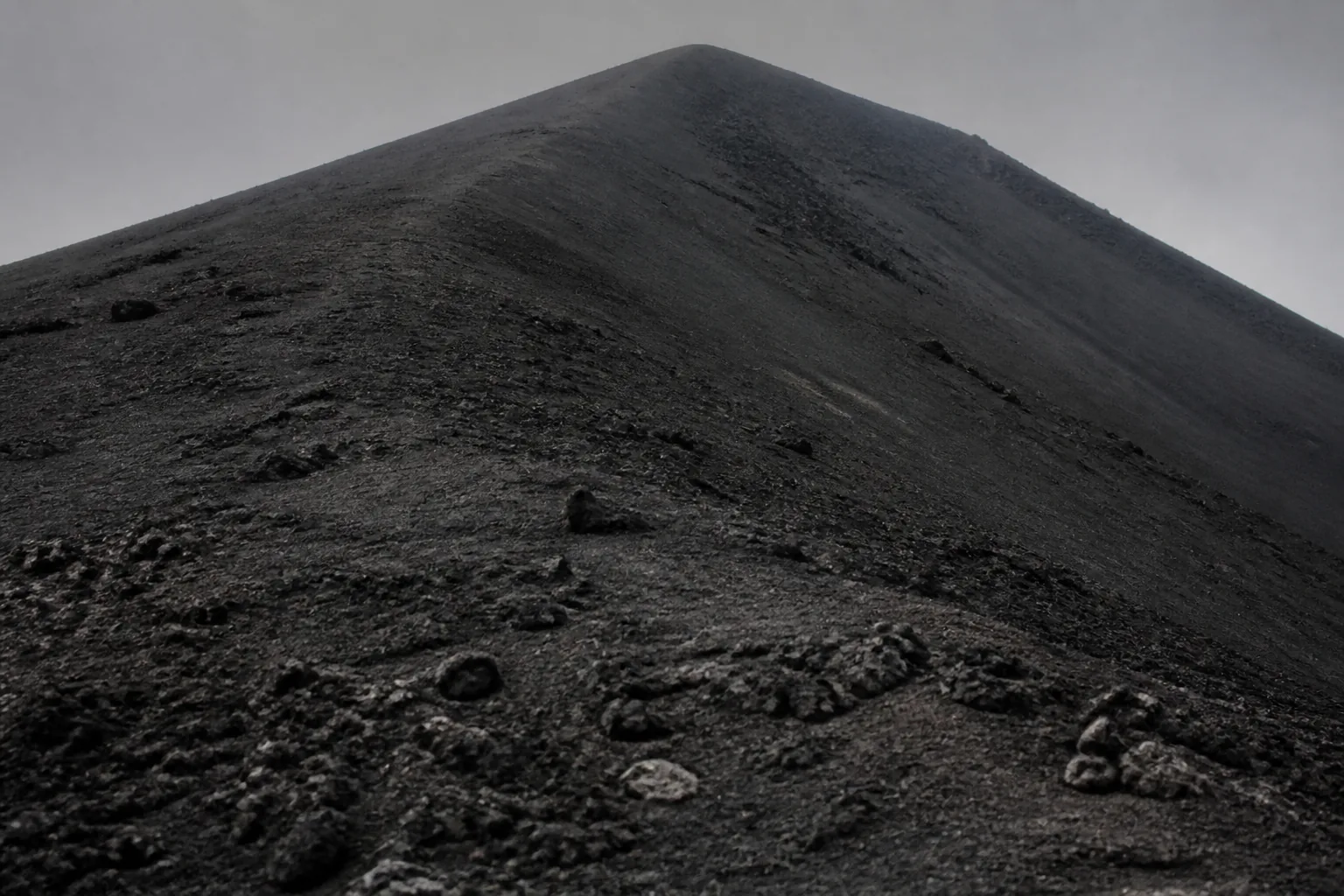
Iwo Jima is about eight square miles of volcanic rock and ash. It had no population worth speaking of, no resources and no strategic significance in itself. It was fought for at a cost among the highest of any battle in the Pacific, and the reason is entirely instrumental: it held airfields in a location no other island could provide.
The value of the ground
By early 1945 heavy bombers were operating against the Japanese home islands from bases far to the south. Two problems followed from the distance. Damaged aircraft that could not make the return leg had nowhere to land, and escort fighters lacked the range to accompany the bombers all the way.
An island roughly halfway solved both. It offered emergency landing fields for aircraft that would otherwise have been lost with their crews, and a fighter base within escort range. That is the whole strategic case, and it is a logistics case instead of a territorial one.
The value was also contested at the time, and has been since. Whether the eventual benefit justified the cost is a genuine argument, and the honest position is that the estimate of the cost was badly wrong before the landing.
A defence built downward
The defence of previously assaulted islands had concentrated at the waterline, where it was exposed to naval gunfire and had been consistently defeated. The garrison here did the opposite.
Positions were dug into rock and connected by an extensive tunnel system: mutually supporting bunkers, caves and firing points, most of them underground and therefore substantially immune to bombardment. Guns were sited to cover the beaches from the flanks rather than to face them. Fire was withheld until landing forces had accumulated on the beach.
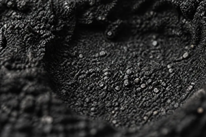
Two features of the terrain compounded it. The volcanic ash gives no purchase to a boot and will not hold the wall of a scrape, so digging in on the beach was not possible and movement off it was slow. And the island’s high ground at the southern end overlooked the entire landing area.
The garrison did not expect relief, resupply or evacuation. That is not an incidental detail: a force with no later phase to preserve itself for fights differently, and the defence was organised to make the island as expensive as possible, not to hold it.
Why the bombardment underdelivered
A very large weight of naval gunfire and air-delivered munitions was expended before the landing, and the commanders who had argued for a longer preparation were vindicated by what it failed to achieve.
The reason is technical. Naval gunfire arrives on a relatively flat trajectory and is effective against surface and reverse-slope positions; it is poorly suited to positions under many metres of rock. Air bombardment has the same limitation against buried targets. The porous volcanic ground absorbed blast as opposed to transmitting it.
The result is the standard caution about measuring preparation in tonnage delivered instead of in positions confirmed neutralised, a distinction that recurs in every campaign since.
The shape of the battle, and the photograph
The high ground at the southern end was secured within the first days, and the flag-raising photograph taken there was published quickly and became one of the most widely reproduced images of the war.
The great majority of the fighting came afterwards, in the broken northern part of the island, and lasted weeks. It was conducted position by position with demolition charges, flamethrowers and direct fire against openings, because the tunnel system meant a cleared position could be reoccupied from below.
The photograph is genuine and it marks an early moment in the battle and not its conclusion — which is worth knowing, because the gap between the image and the timeline is where most popular misunderstanding of this battle sits.
Questions and answers
Why was such a small island fought for so hard?
Because of what could be based on it. It held airfields within range of the Japanese home islands, which made it useful as an emergency landing site for damaged heavy bombers and as a base for escort fighters that could not otherwise reach that far. Its value was entirely as a platform, and that is the standard pattern for island fighting in the Pacific: the ground mattered for what it enabled.
What made the defence so effective?
A deliberate decision to abandon defence at the waterline in favour of defence in depth from underground positions. Miles of tunnels connected mutually supporting bunkers and caves, largely immune to naval gunfire and air bombardment. Fire was withheld until landing forces were concentrated on the beaches. The defenders did not expect relief or evacuation, which removed any incentive to preserve force for a later phase.
Did the preliminary bombardment achieve anything?
Much less than expected, and the commanders who requested a longer bombardment were right to. Naval gunfire and air attack are effective against surface positions and poorly suited to deeply buried ones, and the volcanic terrain absorbed blast. The result is a standard illustration of a bombardment measured in tonnage delivered rather than in positions actually neutralised.
Why is the flag-raising photograph so central to how the battle is remembered?
Because it was published widely and immediately, and because it captured an image of achievement early in a battle that then continued for weeks. The summit was secured in the first days; the great majority of the fighting and the casualties came afterwards, in the northern part of the island. The photograph is authentic and it marks the beginning of the battle instead of its end.